Condurrow Road
Introduction
The photograph on this page of Condurrow Road by Tony Atkin as part of the Geograph project.
The Geograph project started in 2005 with the aim of publishing, organising and preserving representative images for every square kilometre of Great Britain, Ireland and the Isle of Man.

There are currently over 7.5m images from over 14,400 individuals and you can help contribute to the project by visiting https://www.geograph.org.uk
Condurrow Road
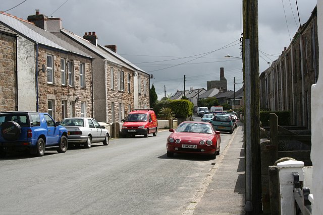
Image: © Tony Atkin Taken: 29 May 2006
A road lined with terraced houses and in the distance a mine engine house, which would have been one of the sources of employment when these houses were built.
Images are licensed for reuse under creativecommons.org/licenses/by-sa/2.0
Image Location
Latitude
50.206326
Longitude
-5.284932