Beddington: Mount Pleasant Cottages
Introduction
The photograph on this page of Beddington: Mount Pleasant Cottages by Dr Neil Clifton as part of the Geograph project.
The Geograph project started in 2005 with the aim of publishing, organising and preserving representative images for every square kilometre of Great Britain, Ireland and the Isle of Man.

There are currently over 7.5m images from over 14,400 individuals and you can help contribute to the project by visiting https://www.geograph.org.uk
Beddington: Mount Pleasant Cottages
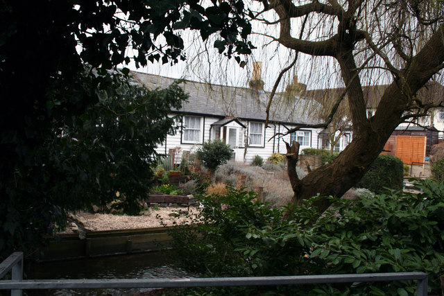
Image: © Dr Neil Clifton Taken: 22 Mar 2010
The River Wandle runs right in front of these three cottages, which have individual footbridges to the road.
Images are licensed for reuse under creativecommons.org/licenses/by-sa/2.0
Image Location
Latitude
51.370042
Longitude
-0.130948