Hayne Lane
Introduction
The photograph on this page of Hayne Lane by Derek Harper as part of the Geograph project.
The Geograph project started in 2005 with the aim of publishing, organising and preserving representative images for every square kilometre of Great Britain, Ireland and the Isle of Man.

There are currently over 7.5m images from over 14,400 individuals and you can help contribute to the project by visiting https://www.geograph.org.uk
Hayne Lane
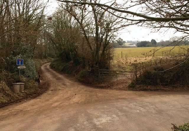
Image: © Derek Harper Taken: 16 Mar 2010
The green lane, signed as a no through road, can, according to the map, be followed on foot as it climbs past the farm at Hayne (right) up towards Dorweeke Cross. Another time. The lane in the foreground sticks to the low ground of the Burn valley.
Images are licensed for reuse under creativecommons.org/licenses/by-sa/2.0
Image Location


Leaflet Map data © OpenStreetMap
Latitude
50.859228
Longitude
-3.46637