Bridleway on Marsh Common
Introduction
The photograph on this page of Bridleway on Marsh Common by Bob Embleton as part of the Geograph project.
The Geograph project started in 2005 with the aim of publishing, organising and preserving representative images for every square kilometre of Great Britain, Ireland and the Isle of Man.

There are currently over 7.5m images from over 14,400 individuals and you can help contribute to the project by visiting https://www.geograph.org.uk
Bridleway on Marsh Common
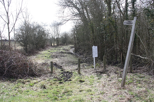
Image: © Bob Embleton Taken: 21 Mar 2010
The very northern point of Marsh Common is just wide enough for a route-way. Before the turnpike trusts put the A-road across the common this would have been the road; now merely a bridleway. On the right is Marsh Covert and on the left is Wychavon District. The common, though, is under the bye-laws of Malvern Hills District Council and they are laid out for all to see on the noticeboard.
Images are licensed for reuse under creativecommons.org/licenses/by-sa/2.0
Image Location
Latitude
52.082821
Longitude
-2.15683