Valley of the Fulford Water
Introduction
The photograph on this page of Valley of the Fulford Water by Derek Harper as part of the Geograph project.
The Geograph project started in 2005 with the aim of publishing, organising and preserving representative images for every square kilometre of Great Britain, Ireland and the Isle of Man.

There are currently over 7.5m images from over 14,400 individuals and you can help contribute to the project by visiting https://www.geograph.org.uk
Valley of the Fulford Water
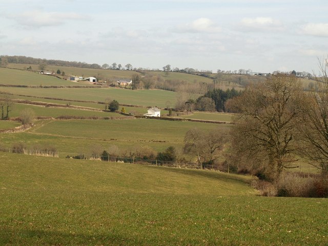
Image: © Derek Harper Taken: 16 Mar 2010
Looking across and down the valley from Image, with Oburnford Villa in the centre, and Remberton the farm on the left, just into Image
Images are licensed for reuse under creativecommons.org/licenses/by-sa/2.0
Image Location
Latitude
50.876089
Longitude
-3.441172