The B 2116 north out of Westmeston
Introduction
The photograph on this page of The B 2116 north out of Westmeston by Dave Spicer as part of the Geograph project.
The Geograph project started in 2005 with the aim of publishing, organising and preserving representative images for every square kilometre of Great Britain, Ireland and the Isle of Man.

There are currently over 7.5m images from over 14,400 individuals and you can help contribute to the project by visiting https://www.geograph.org.uk
The B 2116 north out of Westmeston
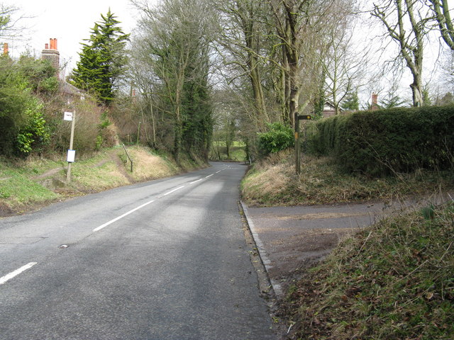
Image: © Dave Spicer Taken: 21 Mar 2010
The footpath on the right cuts through the graveyard of St Martin church to rejoin the B 2116
Images are licensed for reuse under creativecommons.org/licenses/by-sa/2.0
Image Location


Leaflet Map data © OpenStreetMap
Latitude
50.907985
Longitude
-0.097882