Lane north of Venn's Piece
Introduction
The photograph on this page of Lane north of Venn's Piece by Derek Harper as part of the Geograph project.
The Geograph project started in 2005 with the aim of publishing, organising and preserving representative images for every square kilometre of Great Britain, Ireland and the Isle of Man.

There are currently over 7.5m images from over 14,400 individuals and you can help contribute to the project by visiting https://www.geograph.org.uk
Lane north of Venn's Piece
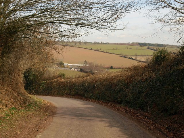
Image: © Derek Harper Taken: 16 Mar 2010
The lane is in the midst of describing a long curve to the left, which takes it across an easting gridline and is followed by the right curve shown in Image This brings it back to Lower Ford, which can be seen in the valley ahead.
Images are licensed for reuse under creativecommons.org/licenses/by-sa/2.0
Image Location
Latitude
50.874259
Longitude
-3.450923