Track up to Higher Ford
Introduction
The photograph on this page of Track up to Higher Ford by Derek Harper as part of the Geograph project.
The Geograph project started in 2005 with the aim of publishing, organising and preserving representative images for every square kilometre of Great Britain, Ireland and the Isle of Man.

There are currently over 7.5m images from over 14,400 individuals and you can help contribute to the project by visiting https://www.geograph.org.uk
Track up to Higher Ford
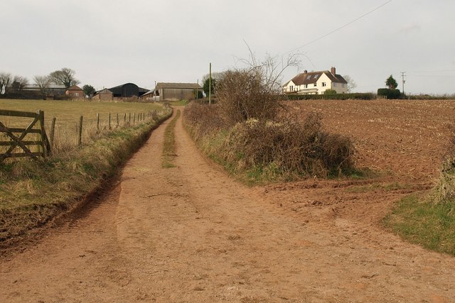
Image: © Derek Harper Taken: 16 Mar 2010
The track leads to the farm buildings from the lane between Seckerleigh Cross and Venn's Piece; the farmhouse is off to the right.
Images are licensed for reuse under creativecommons.org/licenses/by-sa/2.0
Image Location
Latitude
50.876026
Longitude
-3.453536