Symington House
Introduction
The photograph on this page of Symington House by Stephen Craven as part of the Geograph project.
The Geograph project started in 2005 with the aim of publishing, organising and preserving representative images for every square kilometre of Great Britain, Ireland and the Isle of Man.

There are currently over 7.5m images from over 14,400 individuals and you can help contribute to the project by visiting https://www.geograph.org.uk
Symington House
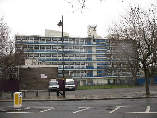
Image: © Stephen Craven Taken: 20 Mar 2010
A block of flats, whose address is Deverell Street (to the north of the block) but this is the view from Harper Street to the south. The block has been empty for some time and as of March 2010 there looked to be preparations in hand for demolition. In 2008 it was the venue for an unusual art installation : http://www.london-se1.co.uk/news/view/3473
Images are licensed for reuse under creativecommons.org/licenses/by-sa/2.0
Image Location
Latitude
51.496293
Longitude
-0.0915