Farmland at Lower Beobridge, Shropshire
Introduction
The photograph on this page of Farmland at Lower Beobridge, Shropshire by Roger D Kidd as part of the Geograph project.
The Geograph project started in 2005 with the aim of publishing, organising and preserving representative images for every square kilometre of Great Britain, Ireland and the Isle of Man.

There are currently over 7.5m images from over 14,400 individuals and you can help contribute to the project by visiting https://www.geograph.org.uk
Farmland at Lower Beobridge, Shropshire
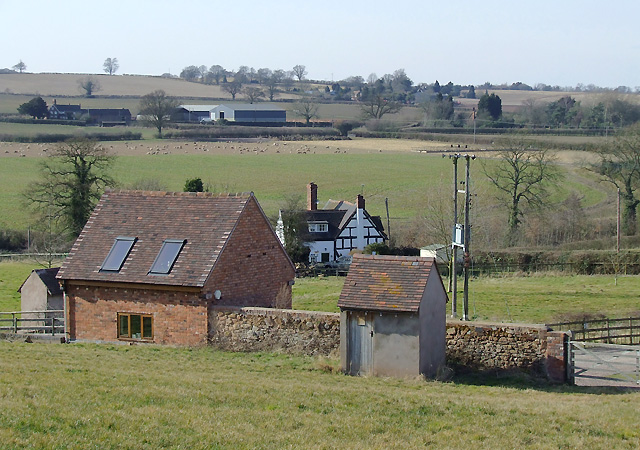
Image: © Roger D Kidd Taken: 17 Mar 2010
Considerable modernisation and recent conversion has been done at and around Beobridge Grange (off to the right, not the black and white building in the centre). The bridleway which climbs the hill south of the buildings has been re-routed so does not coincide exactly with current maps. Farmcote Farm can be seen about three quarters of a mile to the west-north-west.
Images are licensed for reuse under creativecommons.org/licenses/by-sa/2.0
Image Location
Latitude
52.517985
Longitude
-2.317623