2010 : The muddy end of Ham Lane
Introduction
The photograph on this page of 2010 : The muddy end of Ham Lane by Maurice Pullin as part of the Geograph project.
The Geograph project started in 2005 with the aim of publishing, organising and preserving representative images for every square kilometre of Great Britain, Ireland and the Isle of Man.

There are currently over 7.5m images from over 14,400 individuals and you can help contribute to the project by visiting https://www.geograph.org.uk
2010 : The muddy end of Ham Lane
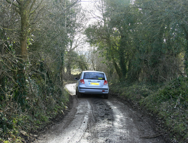
Image: © Maurice Pullin Taken: 2 Mar 2010
The more interesting route between Biddestone and Slaughterford. Not like this all the way, gets worse a little further on.
Images are licensed for reuse under creativecommons.org/licenses/by-sa/2.0
Image Location


Leaflet Map data © OpenStreetMap
Latitude
51.45954
Longitude
-2.224633