Lace Market House, High Pavement
Introduction
The photograph on this page of Lace Market House, High Pavement by Andrew Abbott as part of the Geograph project.
The Geograph project started in 2005 with the aim of publishing, organising and preserving representative images for every square kilometre of Great Britain, Ireland and the Isle of Man.

There are currently over 7.5m images from over 14,400 individuals and you can help contribute to the project by visiting https://www.geograph.org.uk
Lace Market House, High Pavement
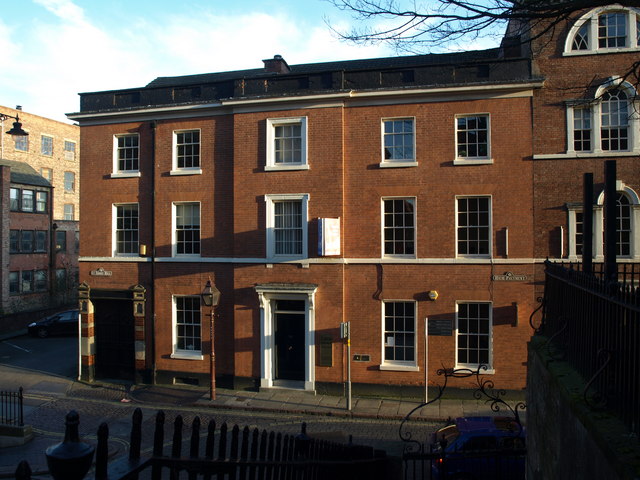
Image: © Andrew Abbott Taken: 21 Mar 2010
Lace Market House on High Pavement is the former vicarage for St. Mary's Church; previously named Washington House and, with No.54 adjacent, subsequently Washington Buildings. Now commercial premises.
Images are licensed for reuse under creativecommons.org/licenses/by-sa/2.0
Image Location
Latitude
52.950955
Longitude
-1.14251