Ashford pressure reducing station
Introduction
The photograph on this page of Ashford pressure reducing station by Robin Webster as part of the Geograph project.
The Geograph project started in 2005 with the aim of publishing, organising and preserving representative images for every square kilometre of Great Britain, Ireland and the Isle of Man.

There are currently over 7.5m images from over 14,400 individuals and you can help contribute to the project by visiting https://www.geograph.org.uk
Ashford pressure reducing station
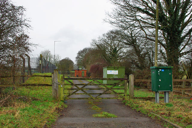
Image: © Robin Webster Taken: 21 Mar 2010
The entrance. The main plant is in the more heavily fenced compound at the left, but still not a big site.
Images are licensed for reuse under creativecommons.org/licenses/by-sa/2.0
Image Location
Latitude
51.120256
Longitude
0.855275