Field at Lower Combe
Introduction
The photograph on this page of Field at Lower Combe by Derek Harper as part of the Geograph project.
The Geograph project started in 2005 with the aim of publishing, organising and preserving representative images for every square kilometre of Great Britain, Ireland and the Isle of Man.

There are currently over 7.5m images from over 14,400 individuals and you can help contribute to the project by visiting https://www.geograph.org.uk
Field at Lower Combe
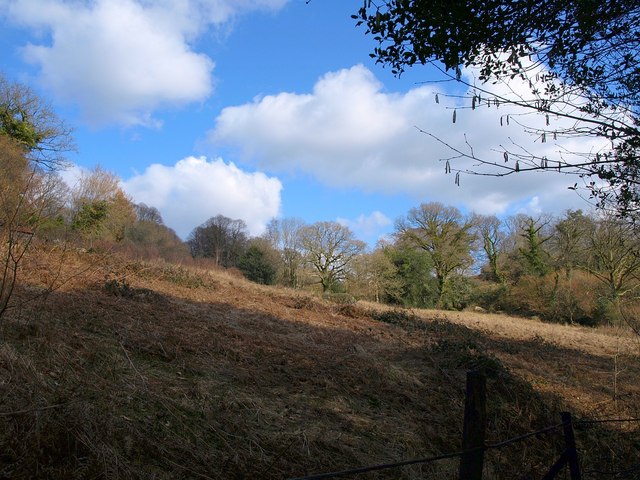
Image: © Derek Harper Taken: 14 Mar 2010
The side of the Combe valley. The field is crossed by Lustleigh Footpath 4, diverging from Lustleigh Footpath 1 which runs along its western fringe behind a field boundary. This is lovely countryside, with small woods, field with scattered granite boulders and boundary trees, little streams and valleys, but quite hard to capture photographically.
Images are licensed for reuse under creativecommons.org/licenses/by-sa/2.0
Image Location
Latitude
50.622276
Longitude
-3.727313