Crown Close
Introduction
The photograph on this page of Crown Close by Ian Capper as part of the Geograph project.
The Geograph project started in 2005 with the aim of publishing, organising and preserving representative images for every square kilometre of Great Britain, Ireland and the Isle of Man.

There are currently over 7.5m images from over 14,400 individuals and you can help contribute to the project by visiting https://www.geograph.org.uk
Crown Close
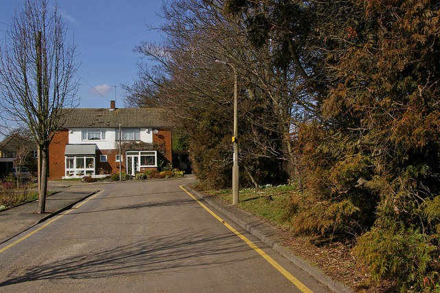
Image: © Ian Capper Taken: 16 Mar 2010
A small development from the 1970s/80s off Crown Road. Running along the right of the photo behind the screen of trees is the main London-Tonbridge railway. To the right of the house in the background, but not accessible, is a coal tax obelisk, no 197 in the list in the link below.
Images are licensed for reuse under creativecommons.org/licenses/by-sa/2.0
Image Location
Latitude
51.361134
Longitude
0.100776