Sandhurst Road
Introduction
The photograph on this page of Sandhurst Road by Ian Capper as part of the Geograph project.
The Geograph project started in 2005 with the aim of publishing, organising and preserving representative images for every square kilometre of Great Britain, Ireland and the Isle of Man.

There are currently over 7.5m images from over 14,400 individuals and you can help contribute to the project by visiting https://www.geograph.org.uk
Sandhurst Road
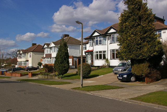
Image: © Ian Capper Taken: 15 Mar 2010
This is a slight exception to the roads in this part of Orpington, which are generally named after public schools, which Sandhurst is not, even if it is still an educational establishment. This bottom section of the road, with the three semis seen here, has a different character from the upper section - see Image
Images are licensed for reuse under creativecommons.org/licenses/by-sa/2.0
Image Location
Latitude
51.365681
Longitude
0.099447