Railway siding, Pontypool & New Inn station
Introduction
The photograph on this page of Railway siding, Pontypool & New Inn station by Jaggery as part of the Geograph project.
The Geograph project started in 2005 with the aim of publishing, organising and preserving representative images for every square kilometre of Great Britain, Ireland and the Isle of Man.

There are currently over 7.5m images from over 14,400 individuals and you can help contribute to the project by visiting https://www.geograph.org.uk
Railway siding, Pontypool & New Inn station
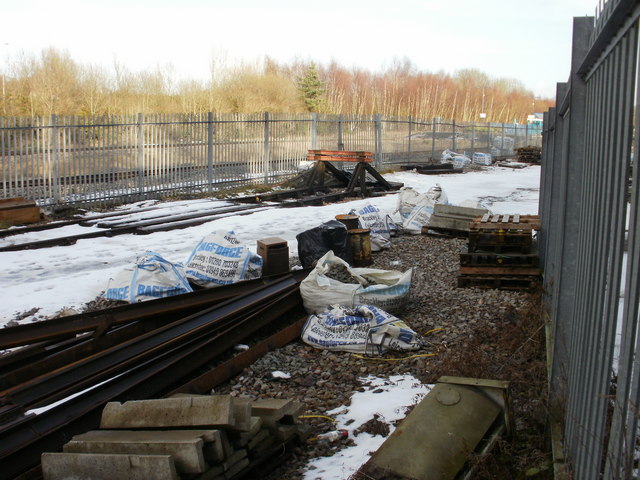
Image: © Jaggery Taken: 17 Jan 2010
A buffer marks the end of a single-track railway siding that connects with the main line just west of Pontypool & New Inn station.
Images are licensed for reuse under creativecommons.org/licenses/by-sa/2.0
Image Location
Latitude
51.696152
Longitude
-3.015643