
Wash Lane past Manor Farm
Introduction
The photograph on this page of Wash Lane past Manor Farm by Evelyn Simak as part of the Geograph project.
The Geograph project started in 2005 with the aim of publishing, organising and preserving representative images for every square kilometre of Great Britain, Ireland and the Isle of Man.

There are currently over 7.5m images from over 14,400 individuals and you can help contribute to the project by visiting https://www.geograph.org.uk
Wash Lane past Manor Farm
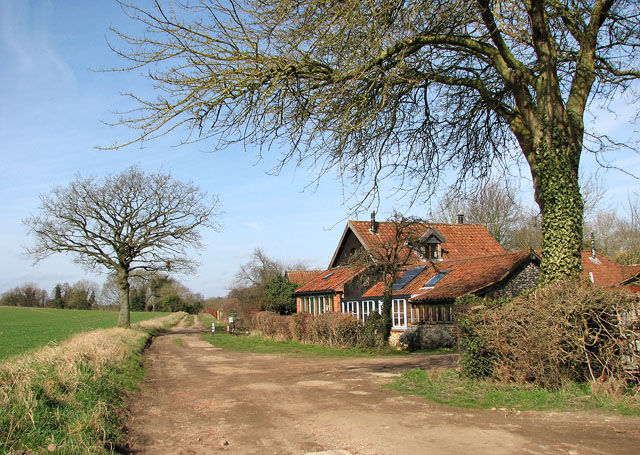
Image: © Evelyn Simak Taken: 19 Mar 2010
The farm appears no longer to exist and some of the barns have been converted into housing. Wash Lane is a track with public access, linking Bradcar Road > http://www.geograph.org.uk/photo/1761808 and Sallow Lane > http://www.geograph.org.uk/photo/1762236 further to the south-east. About half way along, the lane fords the River Thet > http://www.geograph.org.uk/photo/1762177 - http://www.geograph.org.uk/photo/1762186 and a footbridge > http://www.geograph.org.uk/photo/1762181 takes pedestrians across the river without getting their feet wet.
Images are licensed for reuse under creativecommons.org/licenses/by-sa/2.0
Image Location

Latitude
52.476345
Longitude
0.927574