Memorial Gardens, Ashford
Introduction
The photograph on this page of Memorial Gardens, Ashford by Stephen McKay as part of the Geograph project.
The Geograph project started in 2005 with the aim of publishing, organising and preserving representative images for every square kilometre of Great Britain, Ireland and the Isle of Man.

There are currently over 7.5m images from over 14,400 individuals and you can help contribute to the project by visiting https://www.geograph.org.uk
Memorial Gardens, Ashford
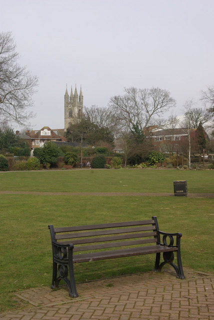
Image: © Stephen McKay Taken: 18 Mar 2010
The Memorial Gardens were laid out in the 1920s on land donated to the town. The tower of St Mary's Church can be seen in the background.
Images are licensed for reuse under creativecommons.org/licenses/by-sa/2.0
Image Location
Latitude
51.146775
Longitude
0.874215