Netherleigh
Introduction
The photograph on this page of Netherleigh by Ian Capper as part of the Geograph project.
The Geograph project started in 2005 with the aim of publishing, organising and preserving representative images for every square kilometre of Great Britain, Ireland and the Isle of Man.

There are currently over 7.5m images from over 14,400 individuals and you can help contribute to the project by visiting https://www.geograph.org.uk
Netherleigh
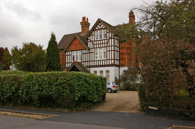
Image: © Ian Capper Taken: 6 Mar 2010
Now split into two (with the right hand section called Shrublands), Netherleigh was one of a number of large late Victorian houses built in The Avenue following the opening of Nutfield Station in 1884.
Images are licensed for reuse under creativecommons.org/licenses/by-sa/2.0
Image Location
Latitude
51.224108
Longitude
-0.135548