Brankanentham
Introduction
The photograph on this page of Brankanentham by Anne Burgess as part of the Geograph project.
The Geograph project started in 2005 with the aim of publishing, organising and preserving representative images for every square kilometre of Great Britain, Ireland and the Isle of Man.

There are currently over 7.5m images from over 14,400 individuals and you can help contribute to the project by visiting https://www.geograph.org.uk
Brankanentham
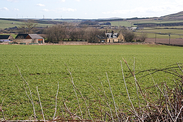
Image: © Anne Burgess Taken: 19 Mar 2010
I've been looking forward to photographing Brankanentham ever since I saw its curious name on the map. Unfortunately I cannot offer an explanation of its derivation. The house actually faces south, and what is in this view is the west elevation, which looks like a traditional late 18th century house.
Images are licensed for reuse under creativecommons.org/licenses/by-sa/2.0
Image Location
Latitude
57.683505
Longitude
-2.766033