Salt Subsidence Mere near Wilkesley
Introduction
The photograph on this page of Salt Subsidence Mere near Wilkesley by Peter Styles as part of the Geograph project.
The Geograph project started in 2005 with the aim of publishing, organising and preserving representative images for every square kilometre of Great Britain, Ireland and the Isle of Man.

There are currently over 7.5m images from over 14,400 individuals and you can help contribute to the project by visiting https://www.geograph.org.uk
Salt Subsidence Mere near Wilkesley
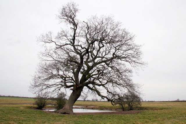
Image: © Peter Styles Taken: 19 Mar 2010
This field is pockmarked with subsidence features related to the underlying Salt horizons (Wilkesley Halite). This one has a small Mere in it but others are simply saucer-shaped depressions
Images are licensed for reuse under creativecommons.org/licenses/by-sa/2.0
Image Location
Latitude
52.967421
Longitude
-2.55101