Sunken Lane
Introduction
The photograph on this page of Sunken Lane by N Chadwick as part of the Geograph project.
The Geograph project started in 2005 with the aim of publishing, organising and preserving representative images for every square kilometre of Great Britain, Ireland and the Isle of Man.

There are currently over 7.5m images from over 14,400 individuals and you can help contribute to the project by visiting https://www.geograph.org.uk
Sunken Lane
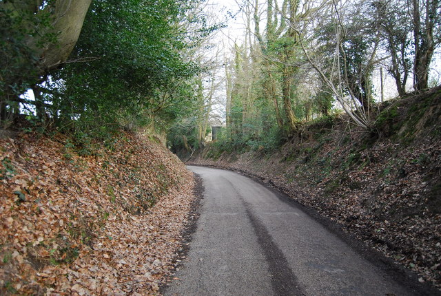
Image: © N Chadwick Taken: 13 Mar 2010
The roads around here cut down into the local sandstone.
Images are licensed for reuse under creativecommons.org/licenses/by-sa/2.0
Image Location
Latitude
51.104206
Longitude
0.387992