Tonge Mill in 1969
Introduction
The photograph on this page of Tonge Mill in 1969 by John Baker as part of the Geograph project.
The Geograph project started in 2005 with the aim of publishing, organising and preserving representative images for every square kilometre of Great Britain, Ireland and the Isle of Man.

There are currently over 7.5m images from over 14,400 individuals and you can help contribute to the project by visiting https://www.geograph.org.uk
Tonge Mill in 1969
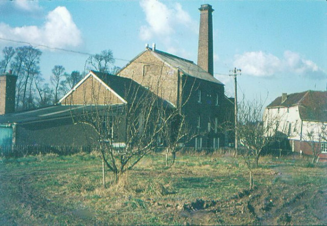
Image: © John Baker Taken: Unknown
Taken from Scraps Hill. The mill dates back to 450 AD when the Saxons Hengist and Horsa joined forces. Hengist settled at Tonge and became the first king of Kent. The mill has seen 300 years of flour milling.
Images are licensed for reuse under creativecommons.org/licenses/by-sa/2.0
Image Location
Latitude
51.338733
Longitude
0.776506