Junction of Linford Road and Cowpitts Lane, Ringwood
Introduction
The photograph on this page of Junction of Linford Road and Cowpitts Lane, Ringwood by Peter Facey as part of the Geograph project.
The Geograph project started in 2005 with the aim of publishing, organising and preserving representative images for every square kilometre of Great Britain, Ireland and the Isle of Man.

There are currently over 7.5m images from over 14,400 individuals and you can help contribute to the project by visiting https://www.geograph.org.uk
Junction of Linford Road and Cowpitts Lane, Ringwood
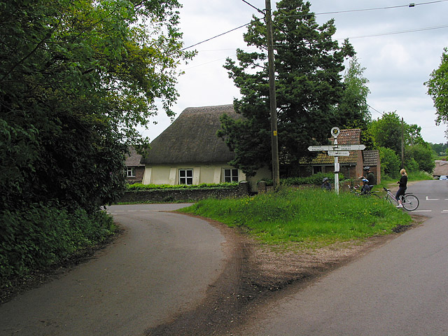
Image: © Peter Facey Taken: 28 May 2006
Ringwood left; Linford right. Cowpitts Lane ahead (past girl on bike). Yellow thatched building is 1840 Baptist Chapel seen better here Image
Images are licensed for reuse under creativecommons.org/licenses/by-sa/2.0
Image Location
Latitude
50.858482
Longitude
-1.758561