Cooden Moat
Introduction
The photograph on this page of Cooden Moat by Simon Carey as part of the Geograph project.
The Geograph project started in 2005 with the aim of publishing, organising and preserving representative images for every square kilometre of Great Britain, Ireland and the Isle of Man.

There are currently over 7.5m images from over 14,400 individuals and you can help contribute to the project by visiting https://www.geograph.org.uk
Cooden Moat
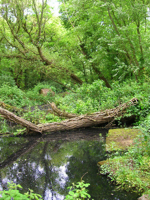
Image: © Simon Carey Taken: 28 May 2006
Overgrown and partially obscured by the woods, the moat also has large chunks of concrete dotted around the periphery and in the moat itself. Will post more about the history once I've found something about it.
Images are licensed for reuse under creativecommons.org/licenses/by-sa/2.0
Image Location
Latitude
50.839124
Longitude
0.42443