Cragg Road & Burley Lane, Horsforth
Introduction
The photograph on this page of Cragg Road & Burley Lane, Horsforth by Rich Tea as part of the Geograph project.
The Geograph project started in 2005 with the aim of publishing, organising and preserving representative images for every square kilometre of Great Britain, Ireland and the Isle of Man.

There are currently over 7.5m images from over 14,400 individuals and you can help contribute to the project by visiting https://www.geograph.org.uk
Cragg Road & Burley Lane, Horsforth
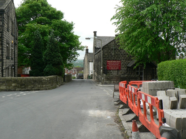
Image: © Rich Tea Taken: 27 May 2006
Looking from the end of Cragg Road towards Burley Lane. Kerbstones waiting to be installed in Cragg Avenue, to the right. Cragg Hill to the left. Cragg Hill Baptist Church on the right. See Image] for a view in the opposite direction.
Images are licensed for reuse under creativecommons.org/licenses/by-sa/2.0
Image Location


Leaflet Map data © OpenStreetMap
Latitude
53.833654
Longitude
-1.635442