Baxter Cottage at Drakelow, Worcestershire
Introduction
The photograph on this page of Baxter Cottage at Drakelow, Worcestershire by Roger D Kidd as part of the Geograph project.
The Geograph project started in 2005 with the aim of publishing, organising and preserving representative images for every square kilometre of Great Britain, Ireland and the Isle of Man.

There are currently over 7.5m images from over 14,400 individuals and you can help contribute to the project by visiting https://www.geograph.org.uk
Baxter Cottage at Drakelow, Worcestershire
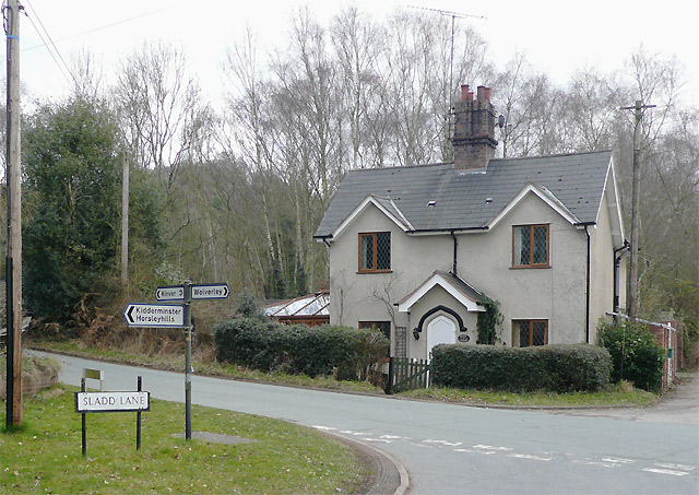
Image: © Roger D Kidd Taken: 15 Mar 2010
At this junction, Sladd Lane joins Kingsford Lane (to the left) which continues as Drakelow Lane (to the right), and a bridleway* past Drakelow Grange to Blakeshall passes the cottage. The many places in this region named after Baxter are referring to Richard Baxter (12 November 1615 – 8 December 1691) who was an English Puritan church leader, poet, hymn-writer, theologian, and controversialist!. See Wikipedia for a very interesting biography. http://en.wikipedia.org/wiki/Richard_Baxter * take a look at this if you have half an hour to read about the fascinating history of this route - now deemed a restricted byway, open to unpowered traffic. http://www.worcestershire.gov.uk/cms/pdf/wolverley%20&%20cookley%20wc542%20draft%20report.pdf
Images are licensed for reuse under creativecommons.org/licenses/by-sa/2.0
Image Location


Leaflet Map data © OpenStreetMap
Latitude
52.423829
Longitude
-2.268565