Bridleway to Castle Hill, Kingsford, Worcestershire
Introduction
The photograph on this page of Bridleway to Castle Hill, Kingsford, Worcestershire by Roger D Kidd as part of the Geograph project.
The Geograph project started in 2005 with the aim of publishing, organising and preserving representative images for every square kilometre of Great Britain, Ireland and the Isle of Man.

There are currently over 7.5m images from over 14,400 individuals and you can help contribute to the project by visiting https://www.geograph.org.uk
Bridleway to Castle Hill, Kingsford, Worcestershire
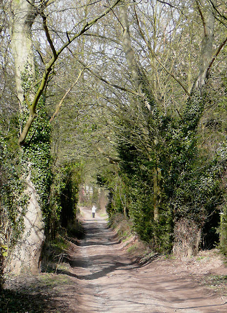
Image: © Roger D Kidd Taken: 15 Mar 2010
This unsurfaced lane is called Castle Hill. There are a few "highly desirable" rural residences on the right further ahead. Castle Hill Farm is at the top just over half a mile away. The bridleway continues past the farm.
Images are licensed for reuse under creativecommons.org/licenses/by-sa/2.0
Image Location


Leaflet Map data © OpenStreetMap
Latitude
52.428477
Longitude
-2.268358