The Darran, Risca
Introduction
The photograph on this page of The Darran, Risca by Jaggery as part of the Geograph project.
The Geograph project started in 2005 with the aim of publishing, organising and preserving representative images for every square kilometre of Great Britain, Ireland and the Isle of Man.

There are currently over 7.5m images from over 14,400 individuals and you can help contribute to the project by visiting https://www.geograph.org.uk
The Darran, Risca
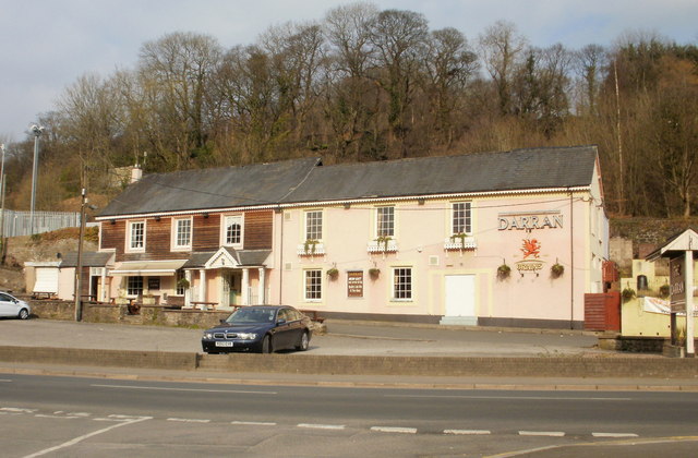
Image: © Jaggery Taken: 11 Mar 2010
Pub located at the west end of St Mary Street, on the corner of Darran Road. The pink part of the building was the original pub, built in 1882. The pub entrance is now in the newer extension on the left.
Images are licensed for reuse under creativecommons.org/licenses/by-sa/2.0
Image Location
Latitude
51.615294
Longitude
-3.107717