2010 : Side road at Upton Cheyney
Introduction
The photograph on this page of 2010 : Side road at Upton Cheyney by Maurice Pullin as part of the Geograph project.
The Geograph project started in 2005 with the aim of publishing, organising and preserving representative images for every square kilometre of Great Britain, Ireland and the Isle of Man.

There are currently over 7.5m images from over 14,400 individuals and you can help contribute to the project by visiting https://www.geograph.org.uk
2010 : Side road at Upton Cheyney
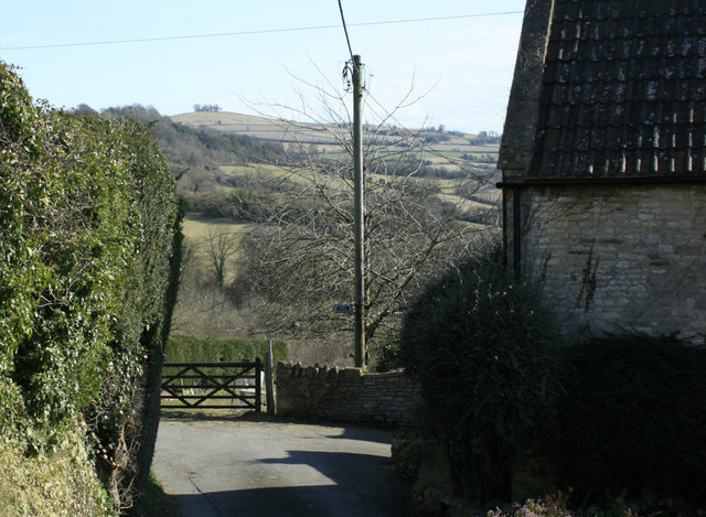
Image: © Maurice Pullin Taken: 15 Mar 2010
With a view of Kelston Round Hill Image
Images are licensed for reuse under creativecommons.org/licenses/by-sa/2.0
Image Location
Latitude
51.424925
Longitude
-2.444372