Papay Parish Kirk
Introduction
The photograph on this page of Papay Parish Kirk by Lis Burke as part of the Geograph project.
The Geograph project started in 2005 with the aim of publishing, organising and preserving representative images for every square kilometre of Great Britain, Ireland and the Isle of Man.

There are currently over 7.5m images from over 14,400 individuals and you can help contribute to the project by visiting https://www.geograph.org.uk
Papay Parish Kirk
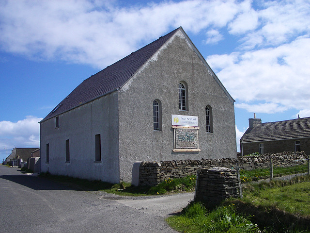
Image: © Lis Burke Taken: 24 May 2006
At the centre of Papay (Papa Westray), the kirk is next to the school.
Images are licensed for reuse under creativecommons.org/licenses/by-sa/2.0
Image Location


Leaflet Map data © OpenStreetMap
Latitude
59.347685
Longitude
-2.891464