Middlemore Almshouses, Stanton By Dale
Introduction
The photograph on this page of Middlemore Almshouses, Stanton By Dale by Garth Newton as part of the Geograph project.
The Geograph project started in 2005 with the aim of publishing, organising and preserving representative images for every square kilometre of Great Britain, Ireland and the Isle of Man.

There are currently over 7.5m images from over 14,400 individuals and you can help contribute to the project by visiting https://www.geograph.org.uk
Middlemore Almshouses, Stanton By Dale
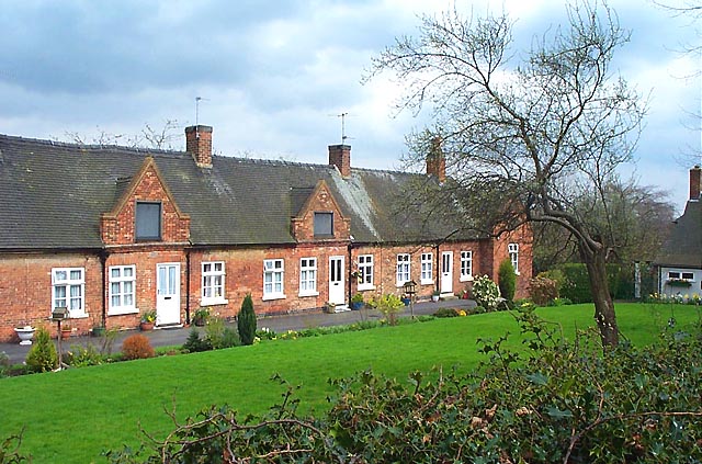
Image: © Garth Newton Taken: 16 Apr 2001
Built in phases between 1711 and 1904 the Almshouses appear to have been built at the same time. Only closer scrutiny reveals otherwise. Each gable end bears a plaque showing the names of the benefactors.
Images are licensed for reuse under creativecommons.org/licenses/by-sa/2.0
Image Location


Leaflet Map data © OpenStreetMap
Latitude
52.938825
Longitude
-1.308956