Deforestation and devastation on Paddock Mound, Dawley
Introduction
The photograph on this page of Deforestation and devastation on Paddock Mound, Dawley by Richard Law as part of the Geograph project.
The Geograph project started in 2005 with the aim of publishing, organising and preserving representative images for every square kilometre of Great Britain, Ireland and the Isle of Man.

There are currently over 7.5m images from over 14,400 individuals and you can help contribute to the project by visiting https://www.geograph.org.uk
Deforestation and devastation on Paddock Mound, Dawley
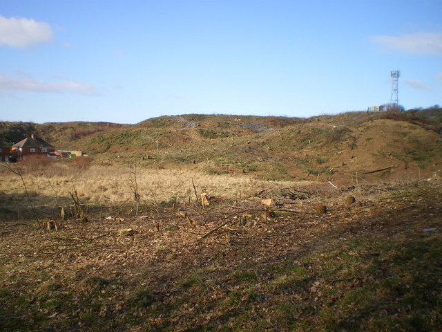
Image: © Richard Law Taken: 14 Mar 2010
The ground is being cleared in preparation for the relocation of the Phoenix School, but in the meantime it looks a bit of a mess. Compare with http://www.geograph.org.uk/photo/1227655 as an indication of how much woodland has gone for a burton. That photo was taken from the opposite direction, but the general idea is clear.
Images are licensed for reuse under creativecommons.org/licenses/by-sa/2.0
Image Location
Latitude
52.662782
Longitude
-2.462891