Pochin House, St Austell
Introduction
The photograph on this page of Pochin House, St Austell by Derek Harper as part of the Geograph project.
The Geograph project started in 2005 with the aim of publishing, organising and preserving representative images for every square kilometre of Great Britain, Ireland and the Isle of Man.

There are currently over 7.5m images from over 14,400 individuals and you can help contribute to the project by visiting https://www.geograph.org.uk
Pochin House, St Austell
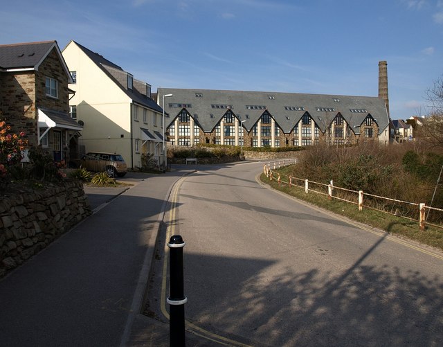
Image: © Derek Harper Taken: 11 Mar 2010
Looking across a gridline up Carclaze Road. See Image To the left is a parallel, more conventional, housing development on Lovering Road, named after Lovering China Clays, one of H D Pochin & Company's competitors; both were taken over by English China Clays in 1932 http://www.fundinguniverse.com/company-histories/English-China-Clays-Ltd-Company-History.html . The Loverings built the clay dry from which Pochin House has been developed http://www.wainhomessouthwest.com/news/historiacl_links.htm .
Images are licensed for reuse under creativecommons.org/licenses/by-sa/2.0
Image Location
Latitude
50.352854
Longitude
-4.778908