Serious Problem
Introduction
The photograph on this page of Serious Problem by Alexander P Kapp as part of the Geograph project.
The Geograph project started in 2005 with the aim of publishing, organising and preserving representative images for every square kilometre of Great Britain, Ireland and the Isle of Man.

There are currently over 7.5m images from over 14,400 individuals and you can help contribute to the project by visiting https://www.geograph.org.uk
Serious Problem
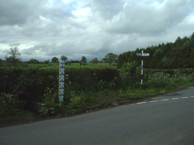
Image: © Alexander P Kapp Taken: 26 May 2006
Problem? what problem, the flood gauge only reads up to 6ft, you will still be able to see which way to go in the boat, the signpost is 7ft high.
Images are licensed for reuse under creativecommons.org/licenses/by-sa/2.0
Image Location
Latitude
54.599444
Longitude
-2.665544