Surrey: Brighton Road, Purley
Introduction
The photograph on this page of Surrey: Brighton Road, Purley by Dr Neil Clifton as part of the Geograph project.
The Geograph project started in 2005 with the aim of publishing, organising and preserving representative images for every square kilometre of Great Britain, Ireland and the Isle of Man.

There are currently over 7.5m images from over 14,400 individuals and you can help contribute to the project by visiting https://www.geograph.org.uk
Surrey: Brighton Road, Purley
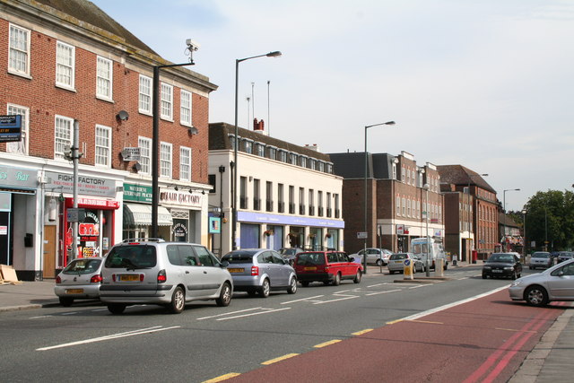
Image: © Dr Neil Clifton Taken: 2 Aug 2007
Looking north. The central white building is the Co-op funeral parlour. The larger brick building in the distance is the former Uplands telephone exchange, which became '660' many years ago.
Images are licensed for reuse under creativecommons.org/licenses/by-sa/2.0
Image Location
Latitude
51.332514
Longitude
-0.123574