Wokefield Common
Introduction
The photograph on this page of Wokefield Common by Darren Smith as part of the Geograph project.
The Geograph project started in 2005 with the aim of publishing, organising and preserving representative images for every square kilometre of Great Britain, Ireland and the Isle of Man.

There are currently over 7.5m images from over 14,400 individuals and you can help contribute to the project by visiting https://www.geograph.org.uk
Wokefield Common
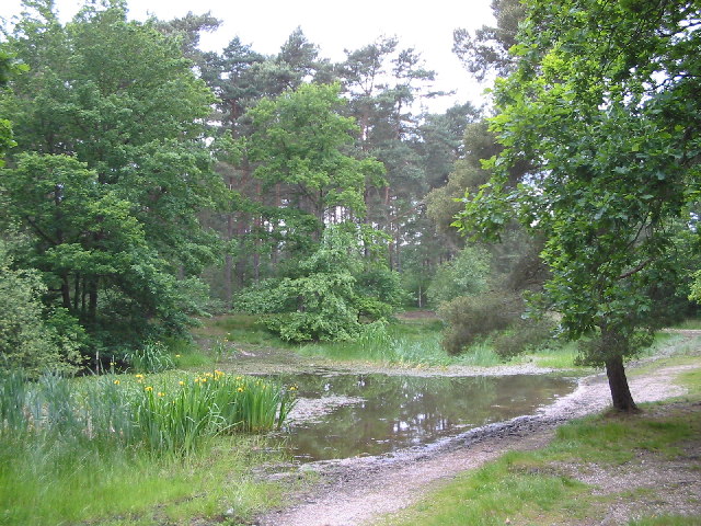
Image: © Darren Smith Taken: 11 Jun 2005
This area of woodland between Burghfield Common and Mortimer contains ponds, a nature reserve, and footpaths.
Images are licensed for reuse under creativecommons.org/licenses/by-sa/2.0
Image Location


Leaflet Map data © OpenStreetMap
Latitude
51.391104
Longitude
-1.064329