Junction on Chart Lane
Introduction
The photograph on this page of Junction on Chart Lane by David Anstiss as part of the Geograph project.
The Geograph project started in 2005 with the aim of publishing, organising and preserving representative images for every square kilometre of Great Britain, Ireland and the Isle of Man.

There are currently over 7.5m images from over 14,400 individuals and you can help contribute to the project by visiting https://www.geograph.org.uk
Junction on Chart Lane
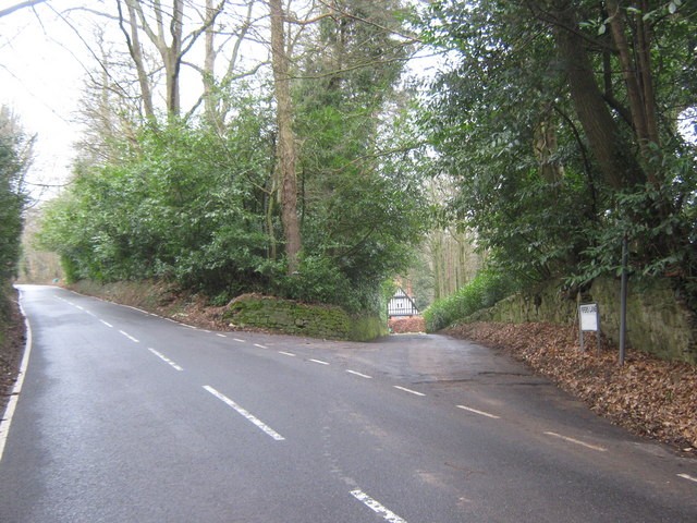
Image: © David Anstiss Taken: 13 Mar 2010
Chart Lane leads from Brasted to Brasted Chart and Toy's Hill. Pipers Lane heads to Foxwold Lodge and then becomes a byway to Foxwold and Pipers Green Lane.
Images are licensed for reuse under creativecommons.org/licenses/by-sa/2.0
Image Location
Latitude
51.268916
Longitude
0.104925