Boundary walls near Standing Stones Farm
Introduction
The photograph on this page of Boundary walls near Standing Stones Farm by Philip Barker as part of the Geograph project.
The Geograph project started in 2005 with the aim of publishing, organising and preserving representative images for every square kilometre of Great Britain, Ireland and the Isle of Man.

There are currently over 7.5m images from over 14,400 individuals and you can help contribute to the project by visiting https://www.geograph.org.uk
Boundary walls near Standing Stones Farm
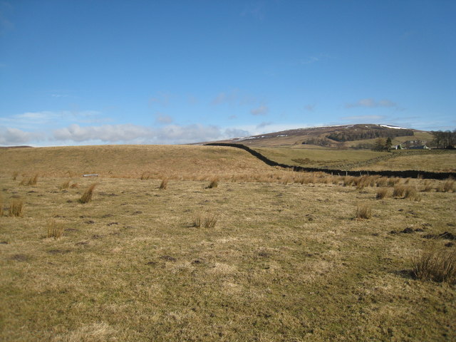
Image: © Philip Barker Taken: 14 Mar 2010
This photograph shows a view of some of the boundary walls and a boundary fence that lie to the south-west of Standing Stones Farm. The farm can be seen in the right-hand side of the image.The hill with the snow on it is Eggleston Common. The picture was taken looking in a north-easterly direction towards Eggleston Burn.
Images are licensed for reuse under creativecommons.org/licenses/by-sa/2.0
Image Location
Latitude
54.621402
Longitude
-2.029857