Churchdale Road and St Andrew's Church
Introduction
The photograph on this page of Churchdale Road and St Andrew's Church by Bill Boaden as part of the Geograph project.
The Geograph project started in 2005 with the aim of publishing, organising and preserving representative images for every square kilometre of Great Britain, Ireland and the Isle of Man.

There are currently over 7.5m images from over 14,400 individuals and you can help contribute to the project by visiting https://www.geograph.org.uk
Churchdale Road and St Andrew's Church
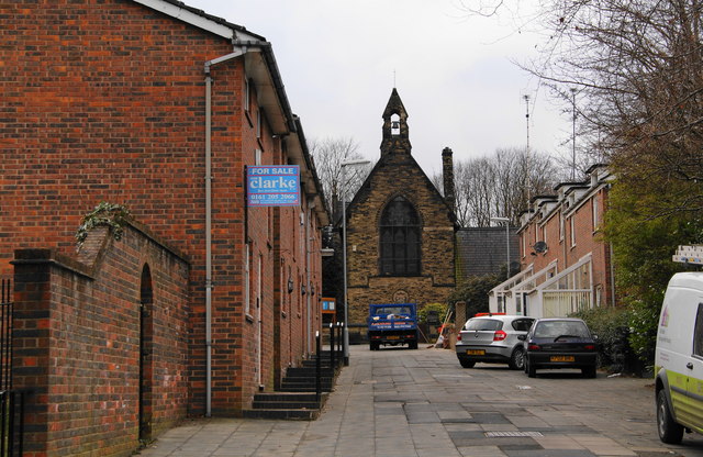
Image: © Bill Boaden Taken: 13 Mar 2010
The church was built in 1865 following donations by the local lord of the manor, the Earl of Wilton.
Images are licensed for reuse under creativecommons.org/licenses/by-sa/2.0
Image Location
Latitude
53.531174
Longitude
-2.230479