The A40 in Abergavenny
Introduction
The photograph on this page of The A40 in Abergavenny by Kevin Flynn as part of the Geograph project.
The Geograph project started in 2005 with the aim of publishing, organising and preserving representative images for every square kilometre of Great Britain, Ireland and the Isle of Man.

There are currently over 7.5m images from over 14,400 individuals and you can help contribute to the project by visiting https://www.geograph.org.uk
The A40 in Abergavenny
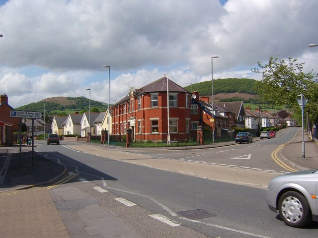
Image: © Kevin Flynn Taken: 23 May 2006
The junction of Park Avenue (right) and the A40 in Abergavenny. In the background, the slopes of Twyn-yr-allt (right) and the Rholben (left), outliers of the Sugar Loaf, the tip of which can just be seen above the Rholben.
Images are licensed for reuse under creativecommons.org/licenses/by-sa/2.0
Image Location


Leaflet Map data © OpenStreetMap
Latitude
51.824691
Longitude
-3.019983