A1 Watford Way
Introduction
The photograph on this page of A1 Watford Way by Martin Addison as part of the Geograph project.
The Geograph project started in 2005 with the aim of publishing, organising and preserving representative images for every square kilometre of Great Britain, Ireland and the Isle of Man.

There are currently over 7.5m images from over 14,400 individuals and you can help contribute to the project by visiting https://www.geograph.org.uk
A1 Watford Way
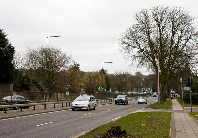
Image: © Martin Addison Taken: 10 Mar 2010
Or... by another name, the Barnet By-Pass. This road was opened in 1928 and brought a boom in growth to the area. The A1 and the A41 are merged along this section and will divide again just up the hill at Apex Corner.
Images are licensed for reuse under creativecommons.org/licenses/by-sa/2.0
Image Location
Latitude
51.617497
Longitude
-0.246181