Lane from Windyridge Road, near Wysall
Introduction
The photograph on this page of Lane from Windyridge Road, near Wysall by Peter Barr as part of the Geograph project.
The Geograph project started in 2005 with the aim of publishing, organising and preserving representative images for every square kilometre of Great Britain, Ireland and the Isle of Man.

There are currently over 7.5m images from over 14,400 individuals and you can help contribute to the project by visiting https://www.geograph.org.uk
Lane from Windyridge Road, near Wysall
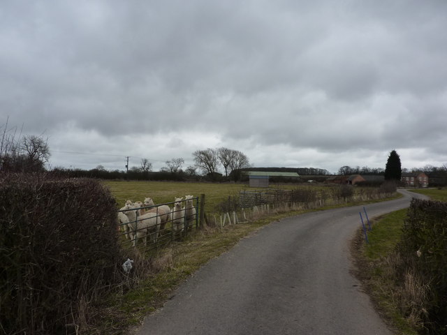
Image: © Peter Barr Taken: 10 Mar 2010
When I submitted the picture Image, I checked Wikipedia for a collective noun, and found "Inflation". Some time later, a perplexed viewer asked me why that was the collective noun, as he could not find it in any source. I rechecked Wiki, to find that such a collective noun for alpacas was no longer there. My theory is that someone may have misinterpreted the "inhalation" which alpacas do when threatened. "Alpacas warn the herd about intruders by making sharp, noisy inhalations that sound like a high pitched bray".
Images are licensed for reuse under creativecommons.org/licenses/by-sa/2.0
Image Location
Latitude
52.832241
Longitude
-1.099131