Path from The Glebelands to Stockton Close
Introduction
The photograph on this page of Path from The Glebelands to Stockton Close by Jaggery as part of the Geograph project.
The Geograph project started in 2005 with the aim of publishing, organising and preserving representative images for every square kilometre of Great Britain, Ireland and the Isle of Man.

There are currently over 7.5m images from over 14,400 individuals and you can help contribute to the project by visiting https://www.geograph.org.uk
Path from The Glebelands to Stockton Close
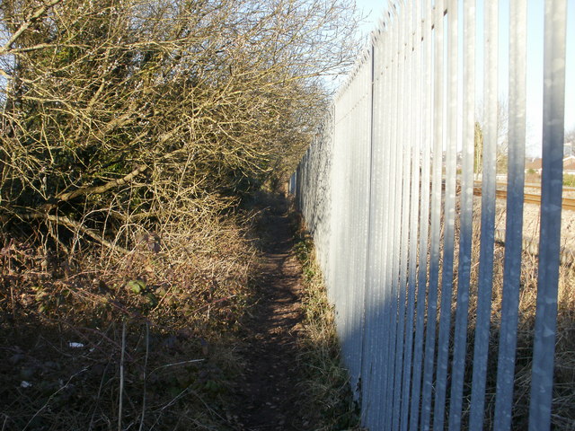
Image: © Jaggery Taken: 7 Mar 2010
The narrow, muddy path is beside the railway boundary railings along the northeast edge of the Glebelands. Ahead, the path passes under the railway http://www.geograph.org.uk/photo/1752194 and ends at Stockton Close.
Images are licensed for reuse under creativecommons.org/licenses/by-sa/2.0
Image Location
Latitude
51.604714
Longitude
-2.983277