Clavering Walk
Introduction
The photograph on this page of Clavering Walk by Simon Carey as part of the Geograph project.
The Geograph project started in 2005 with the aim of publishing, organising and preserving representative images for every square kilometre of Great Britain, Ireland and the Isle of Man.

There are currently over 7.5m images from over 14,400 individuals and you can help contribute to the project by visiting https://www.geograph.org.uk
Clavering Walk
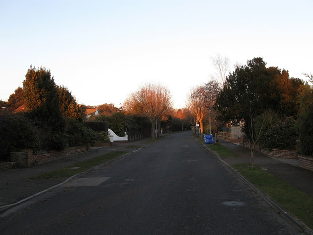
Image: © Simon Carey Taken: 7 Mar 2010
A residential street at the western end of Cooden which itself is a suburb of Bexhill. The land here was originally part of a common that still existed when the first OS map was published in 1813 but had been enclosed by the time the tithe map was produced in 1843. The road itself was laid out in the 1920s at the beginning of the development of Cooden.
Images are licensed for reuse under creativecommons.org/licenses/by-sa/2.0
Image Location
Latitude
50.836443
Longitude
0.423581