Route to Loch Humphrey
Introduction
The photograph on this page of Route to Loch Humphrey by Lairich Rig as part of the Geograph project.
The Geograph project started in 2005 with the aim of publishing, organising and preserving representative images for every square kilometre of Great Britain, Ireland and the Isle of Man.

There are currently over 7.5m images from over 14,400 individuals and you can help contribute to the project by visiting https://www.geograph.org.uk
Route to Loch Humphrey
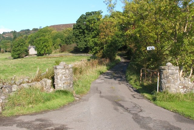
Image: © Lairich Rig Taken: 3 Oct 2008
At this point, which is also shown in http://www.geograph.org.uk/photo/828537 and http://www.geograph.org.uk/photo/319900, the route to Loch Humphrey branches off from a road that leads westwards to Mount Pleasant (a farm). The building visible on the left is Image
Images are licensed for reuse under creativecommons.org/licenses/by-sa/2.0
Image Location
Latitude
55.928774
Longitude
-4.451908