Hole Cottage
Introduction
The photograph on this page of Hole Cottage by Lairich Rig as part of the Geograph project.
The Geograph project started in 2005 with the aim of publishing, organising and preserving representative images for every square kilometre of Great Britain, Ireland and the Isle of Man.

There are currently over 7.5m images from over 14,400 individuals and you can help contribute to the project by visiting https://www.geograph.org.uk
Hole Cottage
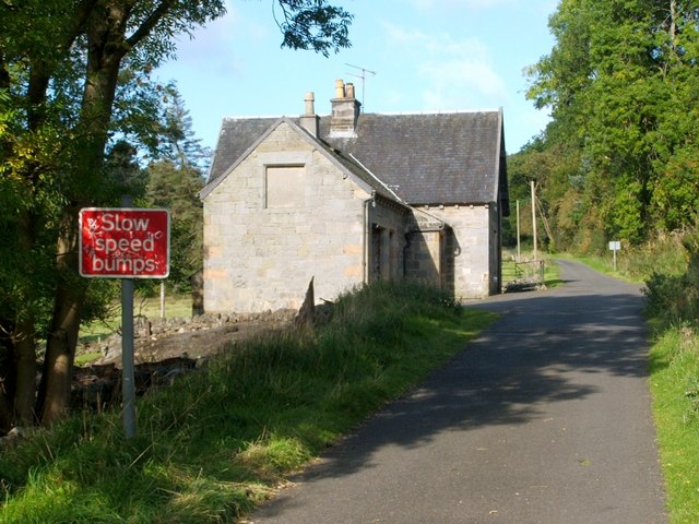
Image: © Lairich Rig Taken: 3 Oct 2008
The building stands beside a road that is part of a route from Old Kilpatrick to Loch Humphrey. There has been a dwelling called Hole Cottage on this spot since at least the time of the first-edition OS map (1865). In 1712, the tenant of Hole Farm was a certain John McRae (see John Bruce's "History of the Parish of West or Old Kilpatrick" (1893), in its chapter on the so-called "watch-meal of Kilpatrick").
Images are licensed for reuse under creativecommons.org/licenses/by-sa/2.0
Image Location
Latitude
55.929727
Longitude
-4.45373