Birkbeck Road
Introduction
The photograph on this page of Birkbeck Road by Martin Addison as part of the Geograph project.
The Geograph project started in 2005 with the aim of publishing, organising and preserving representative images for every square kilometre of Great Britain, Ireland and the Isle of Man.

There are currently over 7.5m images from over 14,400 individuals and you can help contribute to the project by visiting https://www.geograph.org.uk
Birkbeck Road
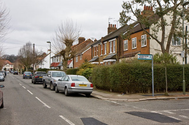
Image: © Martin Addison Taken: 10 Mar 2010
Looking towards the northern end from the junction with Tennyson Road. The house at the end is on Shakespeare Road. In the foreground repairs have been made to potholes formed during recent bad winter weather. These repairs have been necessary throughout the Borough of Barnet. On many roads as fast as the repair is made the sheer volume of traffic rips the new tarmac out again before it has time to harden.
Images are licensed for reuse under creativecommons.org/licenses/by-sa/2.0
Image Location
Latitude
51.617575
Longitude
-0.239389