Watford Road, roundabout
Introduction
The photograph on this page of Watford Road, roundabout by Danny P Robinson as part of the Geograph project.
The Geograph project started in 2005 with the aim of publishing, organising and preserving representative images for every square kilometre of Great Britain, Ireland and the Isle of Man.

There are currently over 7.5m images from over 14,400 individuals and you can help contribute to the project by visiting https://www.geograph.org.uk
Watford Road, roundabout
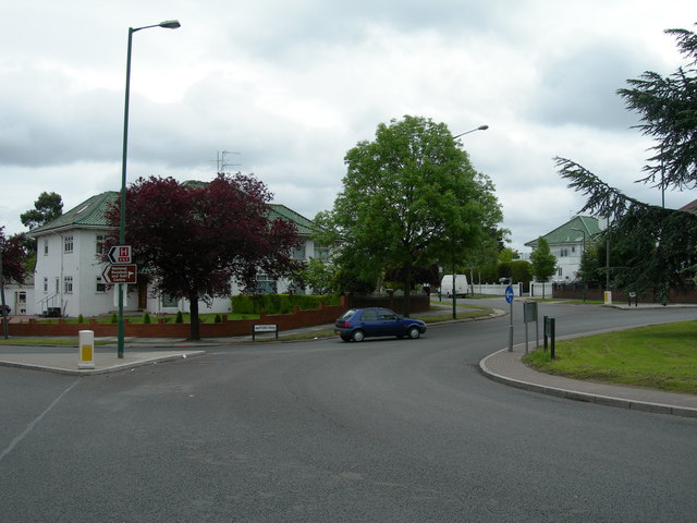
Image: © Danny P Robinson Taken: 21 May 2006
This is at the bottom of the A4127 Sudbury Court Drive, and the roads in view are The Crescent and the A404 Watford Road. Many of the houses round here were built with distinctive green rooves.
Images are licensed for reuse under creativecommons.org/licenses/by-sa/2.0
Image Location


Leaflet Map data © OpenStreetMap
Latitude
51.567169
Longitude
-0.321994